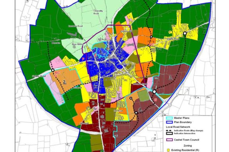
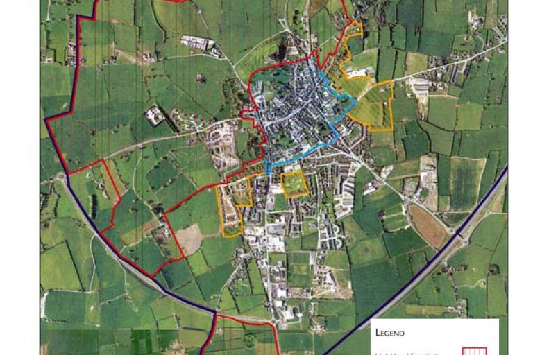
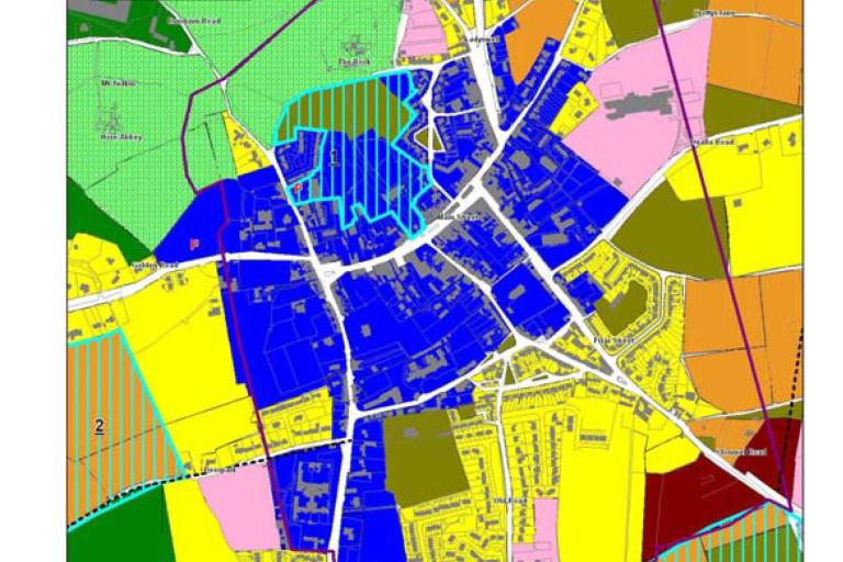
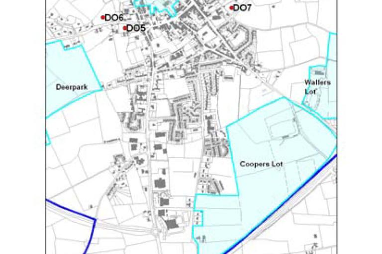
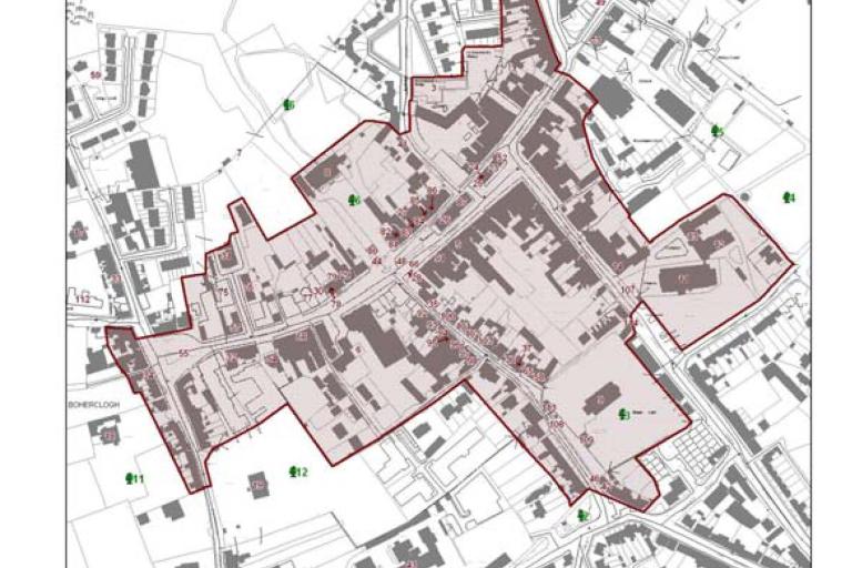
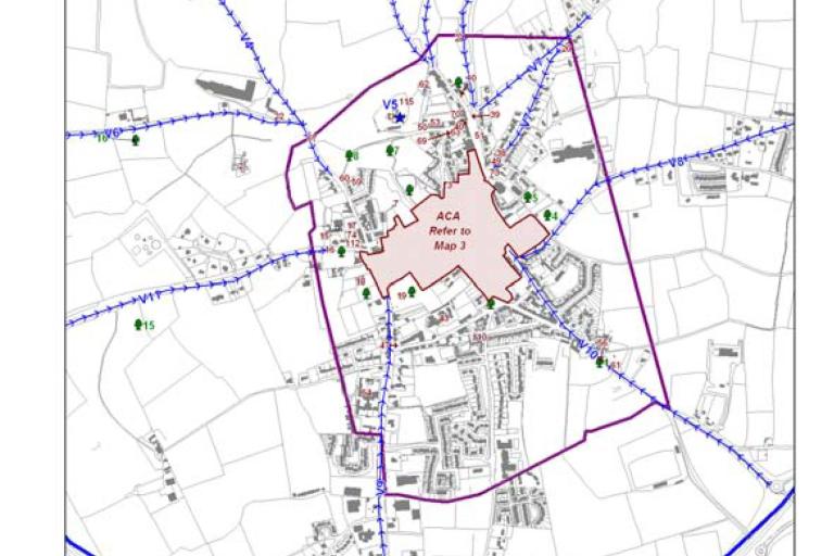
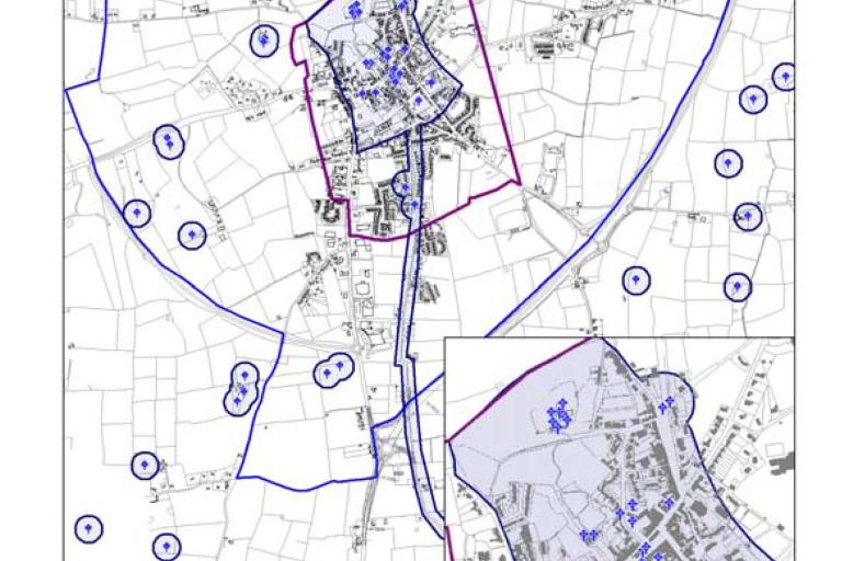
The Cashel and Environs Development Plan, 2009 came into effect in January, 2009. The development plan sets out the strategic planning framework, policies and objectives of the Council for land use development within the plan boundary. The plan consists of a written statement and supporting maps which can be accessed by clicking on the link below
Table of Contents
| Attachment | Size |
|---|---|
| 4.54 MB | |
| 3.35 MB |
Variations
| Attachment | Size |
|---|---|
| 31.91 KB | |
| 1.32 MB |
Maps
| Attachment | Size |
|---|---|
Document
|
7.62 MB |
|
Image
|
Image
|
Image
|
|
Image
|
Image
|
Image
|
|
Image
|


